Learn to build autonomous AI agents using Strands and LangGraph, deploy to AWS Bedrock AgentCore, and extend with RAG and MCP tools.
01about me
 I am an R&D Engineer at Cloudvisor, where I bridge deep technical expertise with client-facing consulting.
My role spans technical discovery and solution scoping, SOW preparation, and supporting sales engagements
as a subject-matter expert – helping customers translate business needs into clear, scalable cloud architectures.
I also continue as a Cloud Consultant at LuxCarta in a part-time advisory capacity. My journey into cloud engineering began
with a strong foundation in software development, having double-majored in Computer Science
and Geoinformatics during my undergraduate studies at Stellenbosch University, followed by
an Honours and MSc, both in Geoinformatics.
My career has evolved from geospatial and web development roles to fully embracing cloud-native solutions since 2022. I contribute to Cloudvisor's R&D and marketing initiatives through technical content creation, and collaborate closely with engineering teams, remaining hands-on in delivery for selected projects. I'm passionate about automating infrastructure deployments, optimizing cloud costs, and building resilient, serverless architectures. Recently, I've been exploring agentic AI systems using frameworks like Strands and MCP, while sharing insights through my technical blog.
Beyond technology, I'm an avid outdoorsman originally from a farm in the Northern Cape. I enjoy hiking, drone photography, and exploring South Africa's diverse landscapes. My technical skills and love for problem-solving extend to personal projects, including digitizing our family genealogy into an interactive web platform using AI models – combining my heritage with modern web technologies.
From my blog at janobarnard.blog
Introduction to Agentic AI & Frameworks
Insights from attending AWS re:Invent 2024 and why it's valuable for cloud professionals.
AWS Batch: Leveraging Serverless Compute for HPC
How to use AWS Batch for high-performance computing serverless workloads.
02certifications
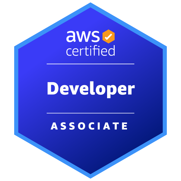
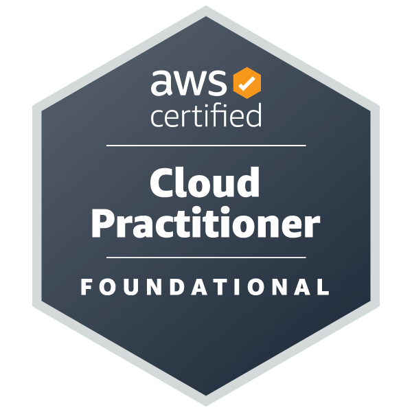
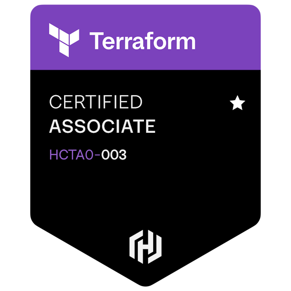
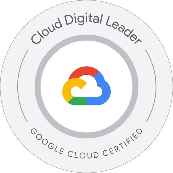
Recent certifications across AWS, Azure, Google Cloud, and HashiCorp platforms.
03experience
Professional cloud engineering journey
-
R&D EngineerCloudvisorJanuary 2026 - Present
As an R&D Engineer at Cloudvisor, I bridge deep technical expertise with client-facing consulting. My role spans technical discovery and solution scoping, SOW preparation, and supporting sales engagements as a subject-matter expert – helping customers translate business needs into clear, scalable cloud architectures.
I contribute to Cloudvisor's R&D and marketing initiatives through technical content creation, and collaborate closely with engineering teams, remaining hands-on in delivery for selected projects. My work involves tech calls and SOW presentation calls, serving as SME for full technical scoping on sales calls, and being outsourced to engineering for projects 25%-50% of the time.
-
Cloud Consultant (Freelance)LuxCartaJanuary 2026 - Present
Continuing in a part-time advisory capacity, supporting LuxCarta with AWS architecture, Terraform-based infrastructure, FinOps practices, and targeted cloud/AI initiatives where continuity and domain knowledge are critical. Working up to 4 hours per week in this freelance consulting role.
-
Cloud EngineerLuxCartaMarch 2024 - December 2025
As a Cloud Engineer at LuxCarta, I architected and implemented cloud infrastructure for BrightEarth On-Demand, a serverless SaaS web application utilizing AWS services including Lambda, Batch, and EC2, integrated with Docker and Python. I successfully completed a comprehensive AWS Foundational Technical Review of BrightEarth On-Demand, paving the way for LuxCarta to attain AWS Partner status.
My key contributions include implementing cost tagging infrastructure and setting up cost visibility dashboards for project and department-level cost breakdowns, establishing a multi-account cloud environment adhering to security and FinOps best practices, and championing Infrastructure as Code using Terraform for version-controlled, multi-environment deployments. Through collaborative migration efforts to the multi-account environment, I've helped achieve significant development and infrastructure cost savings.
I developed an AI agent using AWS Strands and MCP, integrating SaaS tools and a knowledge base to automate workflows and provide personalized user guidance.
-
Web Developer / Junior Cloud EngineerLuxCartaJune 2021 - February 2024
As a Web Developer / Junior Cloud Engineer at LuxCarta, I created a web application to bring the conceptualized BrightEarth On-Demand platform into existence, using HTML, CSS, JavaScript, and PHP while working with the geospatial back-end team for on-premises processing. I collaborated with peers to migrate BrightEarth On-Demand fully to AWS and designed a single-table DynamoDB NoSQL database storing users, orders, and transactions, creating a Python package for database access.
A major achievement was developing a CLI tool and AWS Batch infrastructure to scale containerized geospatial extraction pipelines to 100 concurrent instances – automating building footprint extraction across satellite imagery covering 8.5 million km² within a month for a major project. This hands-on experience with cloud migration, containerization, and AWS services laid the foundation for my transition into cloud engineering.
Additional experience and career history available on LinkedIn
04education
Academic foundation in Computer Science and Geoinformatics
-
MSc GeoinformaticsStellenbosch University2019 - 2021
Research Focus: Trend analysis of the growth and clearing of Prosopis, an invasive alien plant species, evaluating management effectiveness through advanced geospatial analysis and remote sensing techniques.
-
Honours BSc GeoinformaticsStellenbosch University2018
Specialization: Spatial modelling, advanced remote sensing, machine learning applications, and geospatial API development for web mapping solutions. Advanced coursework in spatial data analysis and GIS technologies.
-
BSc Computer Science & GeoinformaticsStellenbosch University2015 - 2017
Double Major: Computer Science & Geoinformatics. Core subjects included computer networking, software & web development, data structures & algorithms, computer architecture, concurrency, and spatial data management technologies.
Complete academic record and additional qualifications available on LinkedIn
05expertise
Core technologies and tools I use to build scalable cloud solutions and applications

06portfolio
Showcasing technical projects and architectural solutions
BrightEarth On-Demand
2021 - 2025
A cutting-edge AI platform designed to generate on-demand 3D geospatial data from anywhere on Earth. By leveraging deep learning techniques, the platform extracts detailed geospatial layers from satellite imagery.
Lead Web Developer → Principal Cloud Engineer
AWS (Lambda, Batch, ECS, API Gateway, Cognito, Amplify, CloudFront, Aurora, DynamoDB), Terraform, Docker, Python, Serverless Architecture
07contact
Let's connect and discuss opportunities
Open to discussing cloud architecture, geospatial technology, and exciting opportunities.
Visit My Blog Send Email

